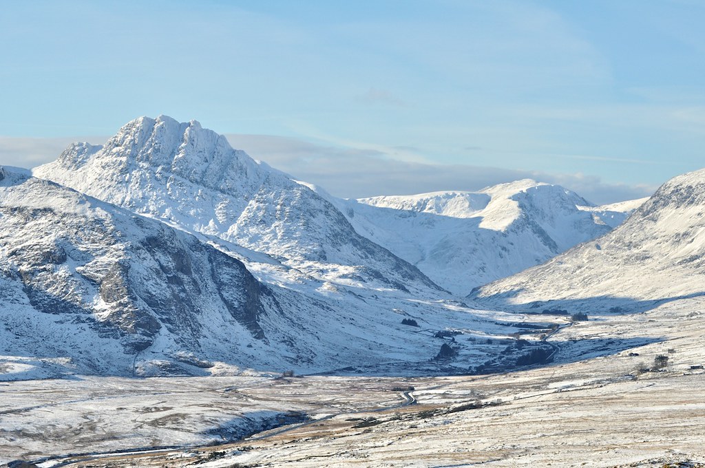
On the morning of May 6, two field surveyors from the Ordnance Survey, Geraint Pugh and Bethan Lloyd-Williams, met at the car park below Pen-y-Pass and set out, with rucksacks and a GNSS receiver, to walk the Crib Goch ridge.
They were not surveying the ridge. They were checking a contour. A 2024 photogrammetric pass over the Glyderau had flagged a possible discrepancy of 1.4 metres on a small bench near the summit of Crib y Ddysgl. The discrepancy was within tolerance for a 1:25,000 map. It was not within tolerance for the 1:10,000 series that the OS maintains for the Welsh hills.
Pugh, who has worked for the OS since 2003, said that the agency still sends a surveyor on foot for any flagged discrepancy on a named summit ridge.
"The aircraft sees what the aircraft sees," he said, on the ridge at perhaps eleven in the morning. "The aircraft does not know that the bench it has flagged is a bench you can stand on."
The Ordnance Survey was founded in 1791. It has mapped Britain continuously since. The 1:25,000 series, known to walkers as the Explorer maps, was first published in 1956. The 1:10,000 series, used for planning and for the more demanding hill country, predates it by several decades.
Most OS revision work today is done from aerial photography and lidar. The agency maintains a fleet of contract aircraft and, since 2018, a partnership with the European Space Agency for satellite-derived elevation data.
The walking surveyor is, in this picture, a small and persistent minority. The OS still employs roughly 200 field surveyors across Britain. Of those, perhaps thirty work principally in upland country.
Pugh and Lloyd-Williams are two of seven who cover Wales. Lloyd-Williams joined the agency in 2019 from a geography degree at Aberystwyth. She is thirty-one. Pugh is fifty-four. He grew up in Bethesda, half an hour from the ridge they were walking.
The GNSS receiver, a Trimble unit about the size of a flask, was clipped to the top of Lloyd-Williams's pack. The receiver was logging position to the centimetre at one-second intervals. At each significant feature, she would stop, hold the receiver vertical on a survey pole, and let it average for two minutes.
At the flagged bench, on the south side of the ridge at about 1,030 metres, the receiver settled at an elevation 1.1 metres above the photogrammetric model. The flagged discrepancy was real. The bench was slightly higher than the aircraft had said.
"Now we draw the line where the foot stands," Pugh said.
This is the principle the OS has followed for two centuries. The line on the map is the line a surveyor can walk. Where the aircraft and the surveyor disagree, the surveyor wins, on named ridges.
The discipline produces, as a consequence, the kind of contour line that Eryri walkers know well. The OS line on Crib Goch is not as clean as the Swisstopo line on a comparable Alpine ridge. It is more empirical. It bulges where the rock bulges and pinches where the rock pinches. It is, in a sense, an averaged record of human feet.
Lloyd-Williams said, of the difference: "We are not Imhof's people. We are not trying to draw the rock as the climber experiences it. We are trying to draw it as the walker can trust."
This is a fine distinction and not a small one. The OS map is consulted, every year, by perhaps six million walkers on the British uplands. A wrong line, in the wrong place, will eventually be tested by a wet boot.
On the descent from Crib y Ddysgl, Pugh and Lloyd-Williams stopped at a small cairn that had not been on the 2017 sheet. They added it to the survey log. The 2027 revision of the Snowdon sheet will show a cairn at that point.
They walked seventeen kilometres that day. They logged forty-one survey points. They corrected the elevation of the flagged bench, added the cairn, and noted a new line of footpath erosion on the descent from Garnedd Ugain.
The data was uploaded that evening, by Lloyd-Williams, from a small office in Caernarfon. It will be processed by the OS cartography team in Southampton and integrated into the next revision of the 1:10,000 sheet.
The sheet will be printed in early 2027. It will contain, somewhere on its surface, the 1.1 metres of correction that Pugh and Lloyd-Williams walked uphill to verify.
Pugh, asked how long he thought the foot-survey would continue, said: "As long as the map is going to be read by people on foot."