The Istituto Geografico Militare, Italy's federal cartographic agency, has its headquarters in a 19th-century palazzo on Via Cesare Battisti in Florence. From there it has, since 1872, mapped the Italian Republic.
The IGM's mountain sheets are less famous than the Swisstopo or the French IGN equivalents. Where Swisstopo is admired and IGN respected, IGM is, among Italian mountain walkers, regarded with affection and exasperation in roughly equal measure.
The affection is for the typography. The IGM contour, drawn in a warm brown that is closer to terracotta than to chocolate, has a hand-drawn quality even on sheets printed in 2024. The numerals are set in a serifed face designed by the IGM cartographer Carlo Bellini in 1934 and never replaced.
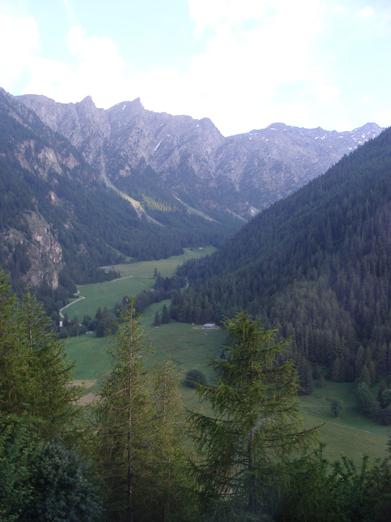
The exasperation is for the inaccuracies. Some IGM sheets, including substantial portions of the Aosta Valley, have not been substantively revised since the 1980s. A walker on the Tour du Mont Blanc, on the Italian section between Courmayeur and Rifugio Bonatti, is using a map whose contour lines may be forty years old.
In November 2024, the IGM launched a project to revise the Courmayeur sheets. The project, funded by a grant from the regional government of the Valle d'Aosta, is the largest single Italian mapping effort in three decades. It will, when complete, deliver new 1:25,000 sheets for the Italian flank of the Mont Blanc massif.
The project leader, Daniela Costanzo, is a 47-year-old cartographer who joined the IGM in 2002 from a geography post at the University of Padua. She is based at the IGM's small office in Aosta, in a building shared with the regional cadastral service.
Costanzo's team has nine cartographers. Four are based in Florence, five in Aosta. The Aosta-based cartographers spend roughly half their time in the field, walking and re-walking the ridges and valleys that the project will re-map.
On May 14, two of them, Marco Vivaldi and Giulia Brunelli, set out from the Val Veny to verify a line of contours below the Tête Carrée. The line, on the existing IGM sheet, ran along a series of small terraces at about 2,400 metres.
The lidar data, captured in summer 2023, suggested the terraces had been altered by a debris flow in the winter of 2018. The flow was known to the local guide community but had not been recorded by any cartographic source.
Vivaldi and Brunelli walked the terraces. They photographed the debris apron. They confirmed that the lidar was correct and that the existing IGM line, drawn in 1986, was wrong by perhaps eight metres of elevation across a 200-metre stretch.
They marked the correction on a paper sheet, in pencil. The pencil correction will be entered into the digital map at the Aosta office and eventually into the 2027 printed sheet.
The IGM, Costanzo said, has been slow to adopt fully digital workflows. The pencil correction on a paper sheet is, by federal protocol, the authoritative record. The digital file is a transcription of it.
This is the kind of detail that, in a different agency, might have been changed long ago. The IGM has retained it on the principle that the field surveyor's hand should be in the final document.
"The pencil is the original," Costanzo said. "Everything else is a copy."
The Bellini typeface, similarly, has been retained on the same principle. It was designed by hand. It has been digitized faithfully. The numerals on the new 2027 sheet will be the same numerals that Bellini drew in 1934.
This is, in one reading, sentimentality. In another it is a discipline. The IGM has decided that continuity of style is a service to the map's reader. A walker who learned to read IGM sheets in 1985 should be able, in 2027, to read the new sheet without effort.
Costanzo, asked whether the discipline would survive into the next generation of cartographers, said she did not know. The IGM, like many federal cartographic services, is losing staff to retirement faster than it is hiring. The 2027 project may be the last large hand-corrected revision the agency undertakes.
The Courmayeur sheets, when printed, will cover the Italian approaches to four of the great Mont Blanc routes. They will be sold at the IGM's small shop on Via Battisti in Florence and at the bookshop run by the Marengo family in Courmayeur.
The Marengo bookshop has stocked IGM sheets continuously since 1962. The current owner, Giancarlo Marengo, says he sells perhaps three hundred Courmayeur sheets a year, mostly between June and September, mostly to walkers who have come a long way to use them.