The bushwalker found on the afternoon of June 1, 2026 in the upper Donaldson River catchment in north-western Tasmania was Cait Lyttleton, thirty-six, a librarian from Launceston who had been overdue from a solo four-day walk in the Tarkine wilderness since the evening of May 28.
Lyttleton's planned route, lodged with a friend before departure, was a circuit from the disused Frankland River forestry track south to Mount Donaldson, east along the ridgeline above the Donaldson, and back to her vehicle by the third day. She had food for five days and a personal locator beacon she had hired from the Burnie Police Station the week before.
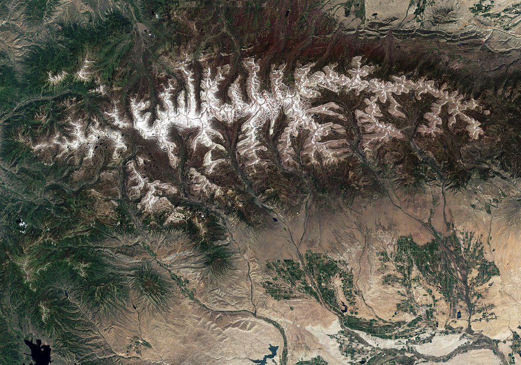
The Tarkine, formally the takayna/Tarkine area, is one of the largest temperate rainforest tracts in the Southern Hemisphere. Most of its interior carries no formed trail. The understory is myrtle beech and sassafras over a thick layer of horizontal scrub. Visibility off the formed tracks is rarely more than ten metres in any direction. The canopy is dense enough that GPS signals are degraded across most of the catchment.
Lyttleton's friend reported her overdue at 21:14 on the evening of May 28. Tasmania Police Search and Rescue paged its volunteer team out of Burnie at 22:30. By 06:00 on May 29 an eight-person ground team was at the trailhead.
The ground search on May 29 found Lyttleton's vehicle, her car keys in a labelled bag clipped to the inside of the rear bumper, and a clear track leading from the vehicle along the planned route. The track, in mud, was followed for roughly two kilometres before the ground hardened and the print disappeared into the leaf litter.
On May 30 the search expanded to twenty-four ground searchers and a contracted Bell 412 helicopter from a Hobart-based operator. The helicopter conducted overflights of the planned ridge route. The canopy was complete. The pilot, a long-time Tasmanian rescue veteran named Brendan Acherley, reported that he could not have seen a bushwalker waving an orange tarp at fifty metres below him through that canopy. He was almost certainly correct.
The breakthrough on May 31 came from a small piece of physical evidence. A ground team working a creek line west of the planned ridge route found a torn page of an Ordnance Survey paper map at the base of a small waterfall. The page covered the upper Donaldson catchment, two valleys west of where Lyttleton had said she would walk. The page had her handwriting in the margin.
The interpretation was that Lyttleton had, at some point on the first or second day, drifted west off her planned ridge and into the wrong drainage. The Donaldson and the unnamed parallel catchment immediately west of it look very similar on a topographic map, and on the ground in dense rainforest are functionally indistinguishable.
The search shifted west on June 1. A ground team led by a senior volunteer named Jen Murphy-Whelan worked up the wrong-catchment creek line from the bottom. At 14:48, roughly four kilometres in, they found Lyttleton.
She was sitting against the trunk of a leatherwood with her boots off and her socks drying on a stick. She had a strained knee from a slip on a wet log on the second day, was running a low fever, and had eaten her last food on the morning of May 31. She had been moving slowly downhill in the hope of reaching the Donaldson River, which she correctly believed would eventually lead her to a track. She was on the wrong river. She had, when found, almost certainly two further days of slow walking ahead of her before she reached anything.
The PLB she had hired from the Burnie Police Station was in her pack. It was undamaged and the battery was full. She had not activated it. Asked later why, Lyttleton said that she had thought she could get herself out, and that she had not wanted to call for help until she was sure she could not.
The ground evacuation from the find point was assessed by Murphy-Whelan as roughly two days of carry over terrain that would have required a stretcher team of twelve operating in continuous rotation. The decision was made to evacuate by helicopter long-line.
Acherley brought the Bell 412 over the find at 16:20 on June 1, in failing light. He could not land. He could not bring the helicopter close enough to the canopy to deploy a winch on a normal cable. He hovered at sixty metres above the canopy and a single-skid rescue technician, a former Australian Army aircrew named Sam Trembath, descended on an eighty-metre long-line through a hole in the canopy that the ground team had cleared with handsaws over the previous forty minutes.
Lyttleton was transferred to a body harness, clipped to Trembath, and lifted out through the same hole in the canopy. The lift took six minutes. The helicopter then withdrew, deposited Lyttleton at a clearing four kilometres east at the trailhead, and returned for Trembath.
Lyttleton went to North West Regional Hospital in Burnie that evening. The knee was a moderate ligament strain. The fever was a mild bacterial infection from a cut she had not properly cleaned. She was discharged on June 3.
Tasmania Police SAR debriefed the search on June 8. The debrief identified one significant issue and one minor one. The significant issue was the failure of the planned-route lodgement system to give a clear indication of how far Lyttleton had drifted from her plan. The minor one was a coordination delay on the morning of May 30 when the helicopter operator and the ground team had been working on different incident channels.
The lodgement issue is, in the debrief's language, structural. There is no system in current use anywhere in Australia that would have indicated to searchers that Lyttleton was in the wrong catchment without the chance discovery of the torn map page. Personal locator beacons solve this problem instantly, but only if the user activates them.
Murphy-Whelan, who has been on the Burnie team for fifteen years, has said in interviews since that the most common Tarkine call-out scenario she sees is a walker who knows they are off-route but is still convinced they can get themselves out. The Tarkine, she said, is not the kind of country that lets you get yourself out. You either go to the track on which you started, or you go to a search team that has to find you in country in which it is very hard to be found.
Lyttleton has, since her discharge, given two interviews. She has been clear in both that she should have activated the beacon on the morning of May 30 when she first realised she was in the wrong drainage. The fact that she did not activate it cost the search team four days of work, two helicopter contracts, and the labour of forty-eight volunteers.
She has also, in a small gesture that has been noted by the team, mailed a hand-written thank-you card to each of those forty-eight volunteers. The cards were sent through the Launceston post office on June 9 and arrived in mailboxes across the north of Tasmania the following week. The card sent to Sam Trembath read, in part, that she could not remember the descent through the canopy but she remembered his voice.